

Maps of East Kazakhstan Region
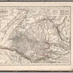 Map of Russian Altai ... Berlin, 1839.1839|Mahlmann, H.1:1 500 000
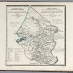 Generalnaia karta Tomskoi gubernii = Carte generale du gouvernement de Tomsk1829|Piadyshev, Vasilii Petrovich, 1758-18351:3 850 000
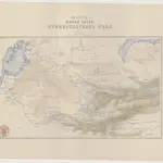 Karta južnoj časti Turkestanskago kraja18671:4 200 000
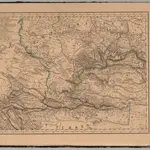 West Siberia.1833|Mahlmann, H.1:6 400 000
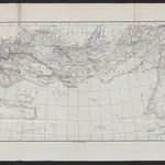 Karte der Reichsgrenze zwischen Russland und China18741:8 500 000
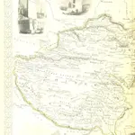 The British Colonies; their history, extent, condition, and resources1851|MARTIN, Robert Montgomery.
 Uibersichts-Karte von Central-Asien18751:18 144 000
1600
1650
1700
1750
1800
1850
1900
1950
2000


Old maps of East Kazakhstan Region
Discover the past of East Kazakhstan Region on historical maps
Old maps of East Kazakhstan Region
Discover the past of East Kazakhstan Region on historical maps
Looking for a Google Maps API Alternative?