Project
Community
News
My App
My maps
Maps of Northern Hungary
Advanced search
All
Private
Favorites
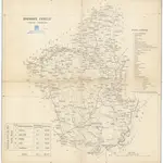
Borsoder Comitat
1840
1:288 000
Borsoder Comitat
1840
1:288 000
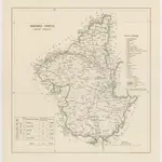
Comitat Heves
1840
1:290 000
Umgebungen von Fülek und Pétervásár
1872|Militärgeographisches Institut
1:144 000
Umgebungen von Erlau und Gyöngyös
1873|Militärgeographisches Institut
1:144 000
Umgebungen von Mezőkövesd
1872|Militärgeographisches Institut
1:144 000
Umgebungen von Tokay
1873|Militärgeographisches Institut
1:144 000
1600
1650
1700
1750
1800
1850
1900
1950
2000
History
Old maps of Northern Hungary
Discover the past of Northern Hungary on historical maps
Old maps of Northern Hungary
Discover the past of Northern Hungary on historical maps
Explore Maps
Discover History
Parent places
Great Plain and North
Related places
County
Borsod-Abaúj-Zemplén County
County
Heves County
County
Nógrád County
© MapTiler
© OpenStreetMap
 18401:288 000
 18401:288 000
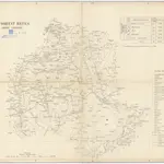 18401:290 000
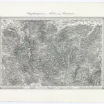 1872|Militärgeographisches Institut1:144 000
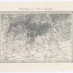 1873|Militärgeographisches Institut1:144 000
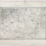 1872|Militärgeographisches Institut1:144 000
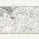 1873|Militärgeographisches Institut1:144 000