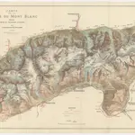
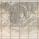
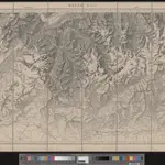
Maps of Vallorcine
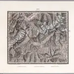
 1841|Leonhard, Carl Cäsar von
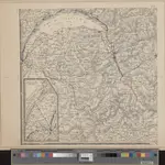
 1870|Gaillard, E.1:50 000
 1875|Dufour, Henri Guillaume1:100 000
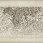 1833|Dufour, G. H.1:100 000
 1845|vermessen und hrsg. auf Befehl der Eidgenössischen Behörden ; aufgenommen unter der Aufsicht des Generals G.H. Dufour1:100 000
 1835|Herder, Bartholomew1:200 000
 1864|gest. v. J. Scheurmann1:500 000