Maps of Wapanucka, Oklahoma
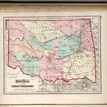 1873|Gray, O.W.1:1 520 640
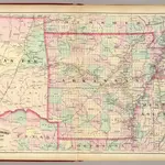 1874|Asher & Adams1:1 267 200
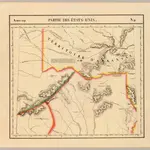 1827|Vandermaelen, Philippe, 1795-18691:1 641 836
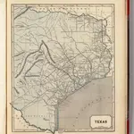 1845|Morse, Sidney E. (Sidney Edwards), 1794-18711:2 450 000
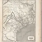 1844|Breese, S.1:2 500 000
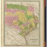 1841|Goodrich, S.G.1:2 820 000
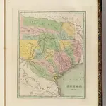 1838|Bradford, Thomas G.1:2 820 000