Maps of Łódź East County
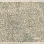 1873|Militärgeographisches Institut1:300 000
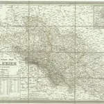
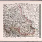 1875|Stieler, Adolf1:740 000
 1875|Stieler, Adolf1:740 000
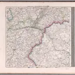
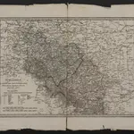 1837|Mollo, Tranquillo1:1 000 000
 1840|Weiland, Karl Ferdinand1:798 000
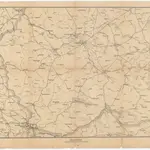 1870|S. Hirzel1:800 000
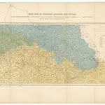 1866|Weiland, G. H.1:1 000 000