

Mapas de Guldborgsund (municipio)
 mapa z atlasu "Atlas compendiarius quinquaginta tabularum geographicarum Homannianarum :"1852|Homannianos Heredes
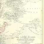 The Map of Europe by Treaty, showing the various political and territorial changes which have taken place since the general peace of 1814 (91.) With numerous maps and notes1875|HERTSLET, Edward Sir, K.C.B
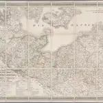 Die Grossherzogthümer Mecklenburg-Schwerin und Mecklenburg Strelitz, den Herzogthümern Holstein und Lauenburg, den Herzogl. Oldenburgischen Fürstenthume Lübeck und den Gebieten der freien Staedte Hamburg und Lübeck / entworfen von C.F. Weiland1830|Weiland, C. F.1:550 000
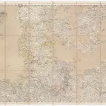 Karte von Holstein1851|Handtke, Friedrich1:600 000
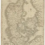 Daenemarck1800|Tranquillo Mollo1:1 260 000
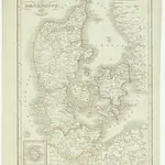 Daenemarck1800|Tranquillo Mollo1:1 245 000
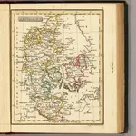 Denmark.1835|Fenner, Rest.1:3 500 000
1600
1650
1700
1750
1800
1850
1900
1950
2000


Mapas antiguos de Guldborgsund (municipio)
Descubra el pasado de Guldborgsund (municipio) en mapas históricos
Mapas antiguos de Guldborgsund (municipio)
Descubra el pasado de Guldborgsund (municipio) en mapas históricos
En busca de un Google Maps API Alternativa?