Mapas de Kota Lhokseumawe
 1873|Topographisch Bureau, Batavia
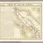 1827|Vandermaelen, Philippe, 1795-18691:1 641 836
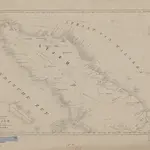
 1832|this chart is inscribed by James Horsburgh1:1 800 000
 1855|te 's Hage : uitgave van K. Fuhri
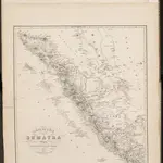 1849|Melvill van Carnbée, P. , Baron
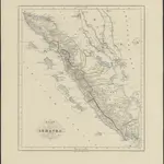
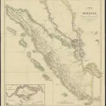 1840|Bruxelles : Etablissement Géographique de Bruxelles fondé par Ph. Vandermaelen1:2 500 000
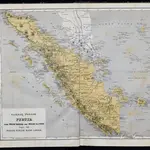 1875|Versteeg, W.F.
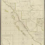